Hazard Overlays
WildPoints includes 18 hazard overlays designed for outdoor decisions, not office dashboards. They sit on top of the same map you use for POIs, GPX tracks, favourites and shared locations, so a rider, hiker, backpacker, fisher, climber, camper or van traveller can see risk context where the route actually is.
Hazard overlays do not replace official warnings, local authorities, emergency services, avalanche bulletins, park notices or personal judgement. They are map context: useful for spotting conditions that may change your route, timing, shelter choice or decision to turn around.
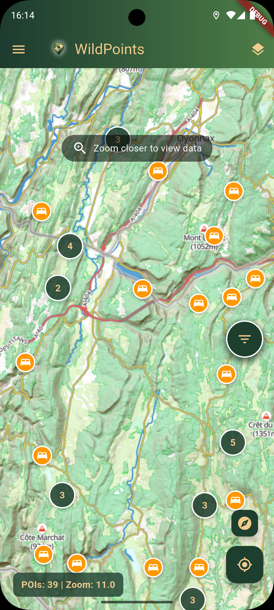
Read hazard context on the same outdoor map used for POIs, GPX tracks and route decisions.
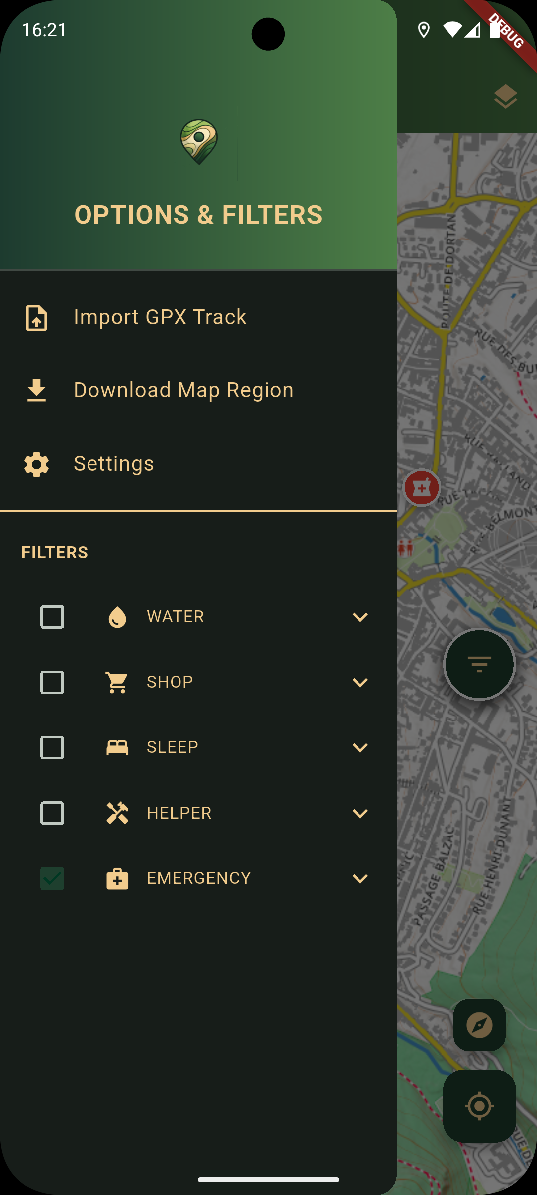
Use filters and map options alongside emergency POIs, offline regions and trip planning tools.
What The Hazard Overlays Cover
| Overlay | What It Helps You Decide |
|---|---|
| Wildfires (thermal anomalies) | Whether fire activity or hot spots may affect a route, camp, forest road or downwind travel. |
| Air quality (AQI) | Whether smoke, pollution or poor air quality may make riding, hiking or camping harder. |
| Pollen | Whether high pollen conditions may affect allergy-sensitive users. |
| Storm radar | Whether rain or storm cells are moving toward your route, campsite, ridge or crag. |
| Heat (surface skin temperature) | Whether exposed routes, long climbs, water planning or midday travel need adjustment. |
| UV index | Whether sun exposure is a real concern for high routes, open water, snow, rock or long gravel days. |
| Flash flood risk | Whether gullies, low crossings, canyons or river-side routes deserve extra caution. |
| Lightning nowcast | Whether exposed ridges, open water, high passes or climbing approaches are becoming unsafe. |
| Avalanche danger | Whether winter mountain terrain needs official avalanche-bulletin checks before continuing. |
| Landslide risk | Whether steep, wet or unstable terrain may affect trails, roads, approaches or detours. |
| River levels | Whether crossings, riverside paths, fishing access or low roads may be affected by high water. |
| Snow and ice risk | Whether routes, passes, shaded trails or road sections may be slippery or blocked. |
| Wind gusts | Whether exposed ridges, bike handling, tents, fishing spots or high roads may become difficult. |
| Drought and fire-ban zones | Whether fire risk or restrictions matter for camps, stoves, BBQ spots or forest travel. |
| Water quality advisories | Whether swimming, fishing access or water-side stops may be affected by advisories. |
| Tick and mosquito risk | Whether vector-borne risk context should affect clothing, camp choice and checks after the trip. |
| Volcanic ash and dust | Whether airborne ash or dust may affect visibility, breathing, travel timing or route choice. |
| Trail and park closures | Reserved for local closure notices where reliable authority-managed data is available. |
Where The Signals Come From
WildPoints combines tile overlays and data-driven hazard signals from public sources such as Open-Meteo, MeteoAlarm, NASA Earthdata / EONET, RainViewer, the UK Environment Agency and other public feeds where available. Coverage is not identical for every layer: some are Europe-wide, some are strongest in Central Europe, some are country-specific, and some depend on source availability at the time you open the map.
The app keeps the workflow simple: enable the layers that matter for the trip, read them together with the offline map, then combine them with POIs such as water, shelter, medical help, fuel, toilets, campsites, huts and repair points.
Outdoor Examples
- Mountain bikers and gravel riders: check storm radar, lightning, wind gusts, heat, water stops and repair options before committing to an exposed loop.
- Hikers and backpackers: combine GPX tracks with avalanche, snow, lightning, flood, river and shelter context.
- Campers and bushcrafters: check drought, fire-ban, wind, wildfire, water and shelter context before choosing a site.
- Fishers: use river levels, storm radar, water quality, lightning and shared coordinates before heading to a bank or lake.
- Climbers: check storm, lightning, wind, heat, UV, approach GPX and nearby medical POIs before committing to a crag.
- Van travellers and overlanders: watch wildfire, air quality, storms, flooding, fuel and water while moving between remote stops.
Safety Note
Hazard layers are decision support. For high-consequence terrain or fast-changing situations, always check official local sources and emergency guidance. If a layer suggests serious risk, treat that as a reason to slow down, verify, reroute, seek shelter or turn around.