When it matters, WildPoints answers.
Mountain biking, city cycling, gravel riding, bikepacking, hiking, backpacking, bushcraft, camping, fishing, climbing, trail running, motorbike touring, van-life — outdoor plans look simple until water runs out, a tube punctures, a storm moves in, a shop closes, or friends need the exact same meeting point. These scenarios show how WildPoints — an offline outdoor map app with OpenStreetMap Points of Interest (POIs), GPX support, weather snapshots, hazard layers, favourites, and deep links — turns "now what?" into a single tap on the map.
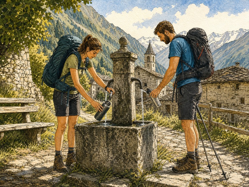
💧 Thirsty? Find water now.
Your bottle has been empty for the last half hour. The map you printed shows no village for another 20 km, and the heat is climbing. Tap the water filter and WildPoints lights up every drinking fountain, public tap, spring, and well within reach — sourced from OpenStreetMap, available offline, with no signal needed. The radial filter brings the icons in one thumb-tap. Pick the closest one, check the marker detail for reliability notes, and reroute. You drink in fifteen minutes instead of forty.
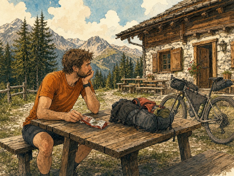
🍽 Hungry? Find the next real meal.
Bonking on a climb because you skipped lunch is a rookie mistake you only make once. WildPoints covers the full food spectrum: restaurants, supermarkets, kiosks, bakeries, butchers, delis, greengrocers, even the occasional vending machine. Flip on the food category and the surrounding area fills up with marker dots, each colour-coded by type. Tap one to see what it is before you go, then share the coordinates with whoever you're riding with through a deep link. The resupply reminder also nudges you when a weekend or public holiday is about to close everything.
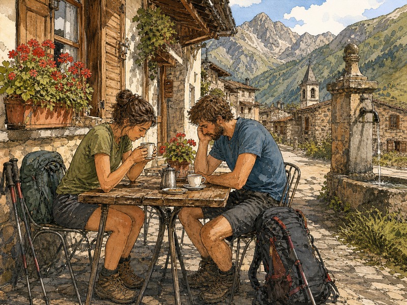
☕ Caffeine break? A flat white before the next climb.
Some climbs are easier with espresso. Some afternoons need a beer garden. WildPoints knows the difference between a restaurant and a café, between a pub and an ice-cream parlour, and lets you pick the one your legs are actually asking for. Toggle the food subcategories you care about and the rest of the noise on the map disappears. Tap a marker to see the place's name, then launch your navigation app of choice with a single tap on the coordinates — Google Maps, OsmAnd, whatever you already use.
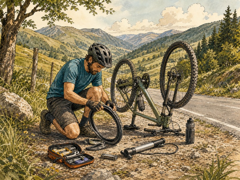
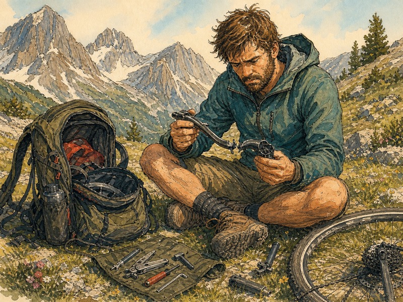
🔧 Flat tire? Help is closer than you think.
Forty kilometres from anywhere, a rear puncture and your last patch peeling off. Before you panic, open WildPoints and switch on the helpers category. Public bicycle repair stations — the ones with pumps and basic tools bolted to a post — show up alongside the bicycle shops in the supplies category. Both work offline, both come from OpenStreetMap data downloaded to your device when you had signal. Pick the nearest one, share the location with whoever is picking up the slack, and roll there at a walking pace knowing exactly how far it is.
🎒 Broken gear? Replacement, fast.
A pole snapped, your stove ran out of gas, a tent zipper finally gave up, the rain jacket is failing in actual rain. Whatever broke, you need a sports or outdoor shop — not a guess based on a town's name. WildPoints surfaces dedicated sports retailers from OpenStreetMap, plus the gas stations and supermarkets that often carry the simpler basics. Marker details show opening hours where contributors added them. Plan a small detour, mark the shop as a favourite so you can come straight back if you forget something, and keep moving.
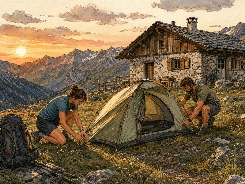
🏕 Tired? Find a spot to sleep.
The sun is dropping, your legs are done, and the wild camping spot you had in mind looks suspiciously like someone's front garden. WildPoints maps the whole sleep category: official campsites, alpine and wilderness huts, basic shelters, caravan sites, even firepits and BBQ spots where they exist. Each marker shows what kind of place it actually is so you don't pedal up to a closed gate at twilight. Layer the offline map underneath, follow the contours, and you'll find a flat patch with water nearby in time to cook before dark.
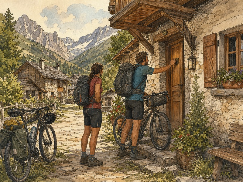
🛏 Done with the tent? A real roof tonight.
Three nights in the rain and you've earned a proper shower. Switch on the accommodation category and WildPoints shows hotels, motels, hostels, B&Bs, guesthouses, chalets, apartments, and resorts — whatever's nearby, regardless of whether the big booking sites have noticed it. Tap a marker for the name and, when contributors have added it, the phone number or website. Then share the exact coordinates with your travel partner via a deep link so you both end up at the same door instead of two villages apart.
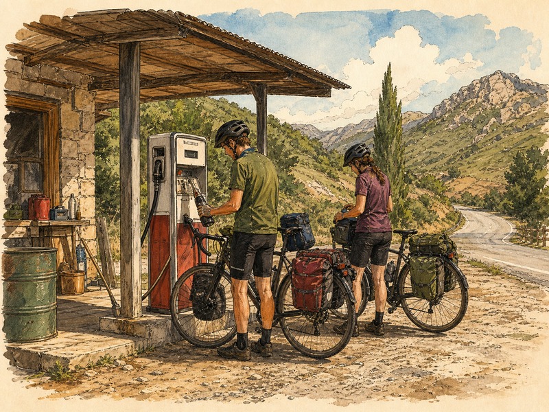
⛽ Running on fumes? Next station, no guessing.
Riding a motorbike or driving a van through a thinly mapped region, watching the fuel needle slide left. Or on foot with an empty gas canister and a cold stove. Toggle the fuel subcategory inside supplies and WildPoints highlights every petrol station for kilometres — even the unmanned ones at the edge of small towns. Distance to each marker is right there. Tap one, copy the coordinates, and feed them to your navigation app, or follow the offline map directly. No data signal required, which matters more than usual when you're nearly stranded.
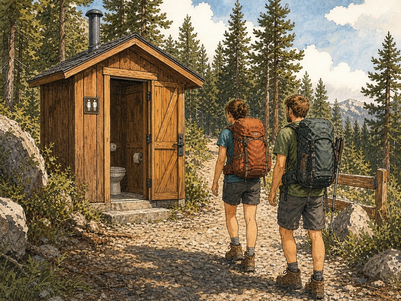
🚻 Nature calling? Find a real toilet.
Sometimes a bush will do. Sometimes — after that questionable roadside meal — it absolutely will not. The helpers category surfaces public toilets along with benches, picnic tables, and bicycle repair stations: the unglamorous infrastructure that turns a long day into a humane one. WildPoints shows them on the same offline map as everything else, with no detour to a search engine, no roaming charges, no awkward pantomime asking strangers. Pick the closest one, tap the marker for any opening-hours notes contributors have added, and ride on with dignity intact.
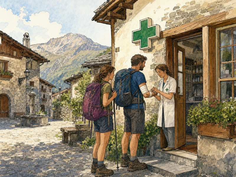
🚑 Medical issue? Pharmacy, doctor, or hospital — fast.
A bee sting that's getting worse. A blister gone septic. A child with a fever in a country whose language you don't speak. The emergency category brings up hospitals, clinics, doctors, dentists, pharmacies, and defibrillators (AEDs) on a single offline map. WildPoints doesn't try to replace emergency services — call them first — but the moment between dialling and arriving is much easier when you can already see where you're heading. Share the coordinates over text so a friend, family member, or local guide can meet you there.
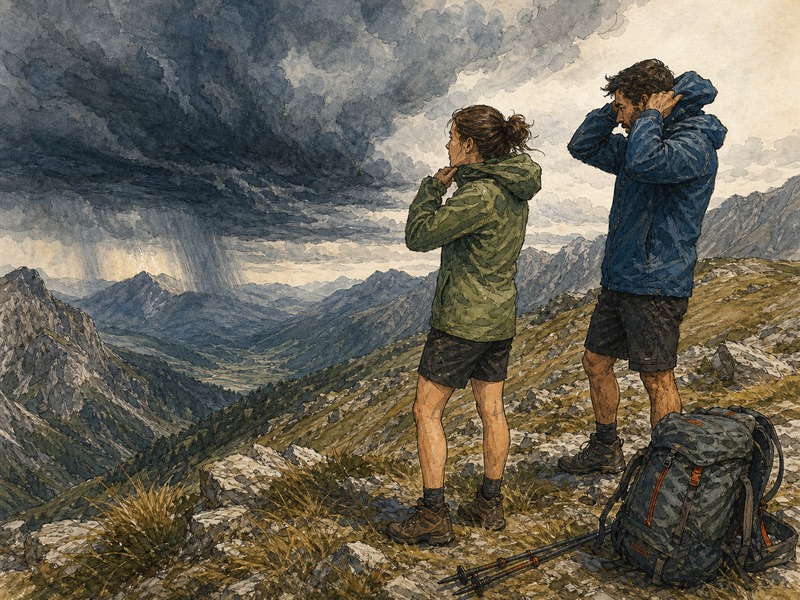
⛈ Storm rolling in? See it, then find cover.
Mountain weather changes faster than your watch can. WildPoints layers Open-Meteo weather snapshots, storm radar, wildfire hotspots, air quality, UV and heat indices, and country-aware official warning feeds where they exist (MeteoAlarm and similar) on top of the map you're already reading. Spot the cell coming in, switch to the sleep category, and the nearest alpine hut, wilderness shelter, or BBQ pavilion becomes obvious. You're under cover before the first hailstone lands instead of debating it under a tree.
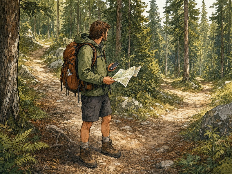
🧭 Off the route? Offline map + GPX gets you back.
The trail forked twice and the signpost was lying. WildPoints holds your GPX track on screen in the colour you picked, layered over a multi-source outdoor map that's already cached on the phone — no cell signal involved. Drop a favourite at the spot you got it wrong so you can post-mortem the route at home. Recenter on your position with one tap, pinch to see how far the deviation actually is, and pick the shortest line back to the line you meant to ride. Quiet, fast, no roaming charges, no panic.
📍 Meeting someone? Share a precise spot.
"I'll be at the bench by the lake" stops working once there are three benches and two lakes. WildPoints lets you long-press anywhere on the map, drop a marker, and send it as a deep link your friend can open straight back into WildPoints — or as a plain web link that works on any phone. Same trick for any POI: the fountain you stopped at, the hut you booked, the trailhead where the shuttle is meeting. One tap, one link, one set of coordinates. Everybody ends up at the same spot.
More Ways Outdoor People Use WildPoints
The same offline POI map, GPX, weather, hazards, favourites, and deep links adapt to many outdoor users without changing apps.
City biking
Find toilets, cafes, shops, pharmacies, water, repair stations, and exact meet-up links during daily rides or weekend escapes.
Gravel route scouting
Keep GPX tracks, food, water, fuel, weather, hazards, and fallback stops visible on long mixed-surface routes.
Mountain bike trail days
Check water, repairs, emergency services, storm risk, and route recovery when a trail network gets confusing.
Fishing access
Use offline maps for parking, bank access, toilets, shops, weather checks, and shared coordinates for the right stretch of water.
Climbing crag approach
Follow GPX approaches, locate parking and water, watch weather shifts, and share exact meeting points with partners.
Bushcraft and camp setup
Find water, shelters, legal campsites, resupply, fire or BBQ spots where mapped, hazards, and safe exit routes.
Backpacking resupply
Plan food, water, huts, toilets, lodging, medical help, and weekend closure risk before the next remote section.
Trail running
Carry GPX, water, weather, hazard context, toilets, emergency POIs, and shared location links without bulky planning tools.
Van and overland support
Find fuel, water, toilets, food, campsites, hazards, and shared overnight stops while crossing remote roads.
Your next "now what?" is a tap away.
Offline maps, practical POIs, weather and hazard context, GPX tracks, deep-link sharing. WildPoints rides where you ride.
100% free • No account required • Offline-first by design